


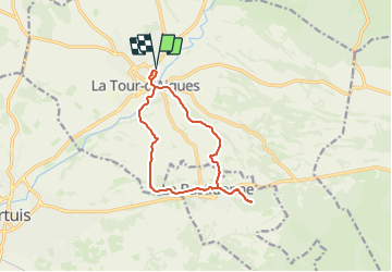

86 km | 102 km-effort

User


FREE GPS app for hiking
 SityTrail
IGN / Geographical institutes
SityTrail World
The world is yours!
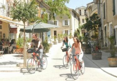
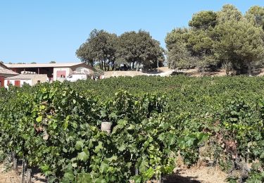
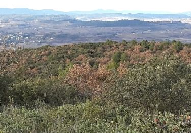
Trail Walking of 12.8 km to be discovered at Provence-Alpes-Côte d'Azur, Vaucluse, La Tour-d'Aigues. This trail is proposed by boulinevelyne.
Les copains randonneurs du 04
Départ parking à coté des terrains de sport (tennis, foot etc)
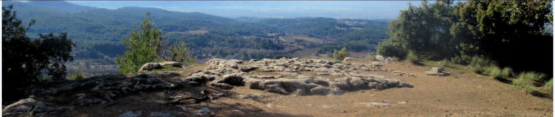
Aucune difficulté

Cycle

Mountain bike
Walking
Walking

Walking

Walking
Cycle
Cycle
Walking